
Local and Regional Maps

1871 topographic map of Mt. Diablo.
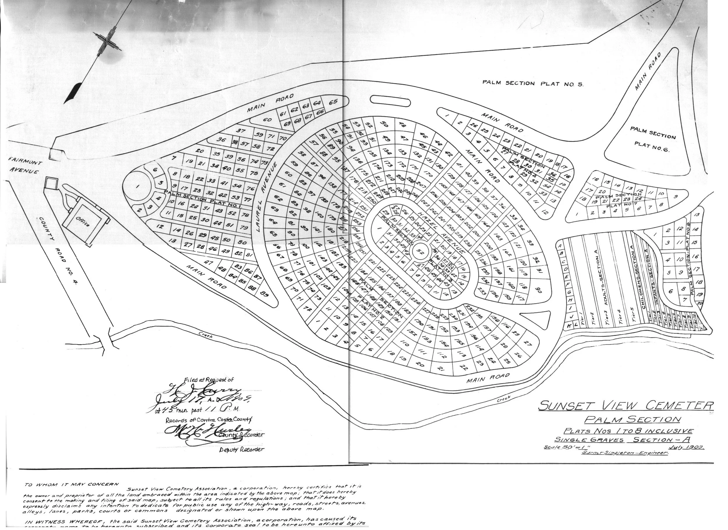
1909 County Recorder’s map of Sunset View Cemetery

Early 20th Century developer’s map of Richmond and El Cerrito

1914 map of Key Route business block.

El Cerrito annexations since 1917

1938 map of Richmond, El Cerrito & San Pablo. Click here for larger version.

Japanese-owned nurseries in the El Cerrito-Richmond area. Click here for PDF.
